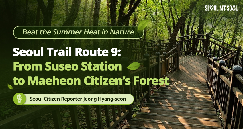
Seoul Trail Route 9 Winds Through Forest From Suseo Station to Maeheon
The 10.7-kilometer route along Daemosan and Guryongsan Mountains takes about 4 hours and 50 minutes to complete on foot.
Lim Dae-ho ·
published
· version 1
What this means for travelers
The Seoul Metropolitan Government recommends avoiding the hottest part of the day for safe summer hiking, hiking during cooler morning hours or around sunset, bringing plenty of water, and checking for weather alerts such as heat wave warnings before heading out.
Route Overview
Seoul Trail Route 9 runs along Daemosan and Guryongsan Mountains, from Suseo Station to Maeheon Citizen's Forest.
The trail is 10.7-kilometer long.
It takes about 4 hours and 50 minutes to complete on foot.
The route ends at Maeheon Citizen's Forest.
Getting Started
The starting point is Exit 6 of Suseo Station on Subway Line 3.
Navigation
Hikers can follow the orange trail marker ribbons along the trail for a safe trek.
Seoul Trail signs at every fork make it easy to find the way.
Checking In
Mailbox-style stamp stations along the trail let hikers check in by scanning a mobile QR code.
Staying Safe in Summer Heat
The Seoul Metropolitan Government (SMG) recommends avoiding the hottest part of the day for safe summer hiking.
Hikers are advised to hike during the cooler morning hours or around sunset.
Hikers are advised to bring plenty of water to stay hydrated.
Hikers are advised to check for weather alerts, including heat wave warnings, and avoid strenuous outdoor activities if an alert is in effect.
Along the Way
A landmark along the route sits at 306 m above sea level.
Hikers can enjoy a cup of coffee at Yeouicheon Wish Café, Waterfront Vitality Hub 17.
The Maeheon Yun Bong-Gil Memorial Museum is located in Maeheon Citizen's Forest.
About Seoul Trail
The Seoul Trail consists of eight routes and more than 20 kilometers.
The Seoul Trail 2.0 revamp divided the trail into 21 shorter routes.
The average walking time for Seoul Trail routes is around three hours.
One source. Everything above rests on Seoul Metropolitan Government alone.
We have not found a second, independent account of it, so treat the detail as that
organisation states it and check the original before you rely on it.
This article uses 18 structured facts
selected from the sources above. See our
editorial policy.